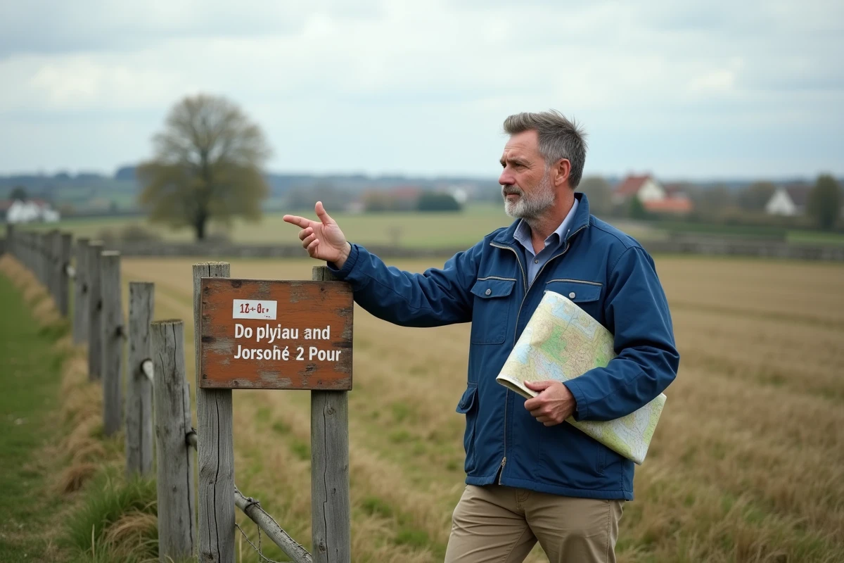
The boundaries of a cadastral parcel do not always correspond to the physical reality of the land. In France, the official designation of a piece of land may differ from its common use, creating discrepancies between administrative documents and actual land occupation.
Some rights, such as access to a property or the possibility to build, strictly depend on the mentions in the cadastral plans and not on the situation on the ground. Identifying and understanding this data is essential to avoid disputes or errors during real estate transactions or administrative procedures.
The cadastre in France: origin, definition, and essential principles
The cadastre is the register that organizes the French land mosaic. Conceived under Napoleon in 1807, it aims to keep up-to-date, for each parcel, precise traceability: to record, to map, to organize. This register, managed by the General Directorate of Public Finances, structures the country into cadastral sections, and then into parcels: each parcel receives a unique identifier, a true land identity card.
Cadastral tools have refined over time. The cadastral plans outline the geography of properties, while the cadastral matrix centralizes essential legal, fiscal, and administrative information. These documents, accessible to all, form the basis for the security of transactions. Area, location, shape, ownership history, transfers, divisions, or consolidations: everything is recorded, ensuring the tracking of land.
The definition of a cadastral parcel in France, presented in the article ‘Parcelle de terrain : comment la nomme-t-on ? – Instant Jardin’, sheds light on how law and administration designate and identify each piece of land. This precise identification system eliminates misunderstandings during boundary marking, sales, or development projects. Thanks to this rigor, the cadastre stands as a reference tool for local authorities, urban planners, notaries, surveyors, and all those who care about the clarity of land ownership.
What is the purpose of a cadastral parcel in land management and daily life?
The cadastral parcel marks the boundary of a right, an obligation, a use. This delimitation, recorded in the land register, holds authority for any operation concerning land ownership. It serves as the basis for calculating local taxes such as property tax or housing tax, relying on the rental value of each property. Municipalities rely on the cadastre to organize their resources, equitably distribute tax burdens, and manage local urban planning.
For anyone involved in a real estate transaction, the cadastral parcel becomes an essential reference. It clarifies the boundaries during a purchase, sale, or inheritance. Cadastral plans, due to their accuracy, prevent many boundary disputes or land divisions: notaries and land surveyors systematically refer to them to ensure the legal security of operations.
Planning professionals, urban planners, and developers rely on cadastral parcels to plan development projects and delineate urban areas. This division facilitates the management of networks (water, electricity, roads), the control of public or private domains, and the analysis of territorial evolution. As the basis of the geographic information system (GIS), the parcel informs the reflection on the transformation of spaces, from simple subdivisions to the preservation of common heritage.

Accessing cadastral information easily: procedures, tools, and practical advice
The cadastral plan is accessible to everyone. There are several ways to obtain cadastral information about a parcel, a piece of land, or a built complex, depending on the precision sought or the context of the request.
For a first approach, online access is naturally the best option. The cadastre service of the tax administration offers a clear interface, allowing for quick localization of a parcel across the territory. Consultation of the cadastral plan, free of charge, can be done using the address, section number, or parcel reference. This step provides an accurate view of the location, boundaries, buildings, and different cadastral sections.
On the ground, the town hall of the concerned municipality remains a support point. One can consult the cadastral matrices and obtain extracts, which are valuable during a sale, inheritance, or construction project. The land tax center also holds cadastral documentation, useful for certain legal or fiscal procedures requiring an official certificate.
To go further, land surveyors and notaries have specialized tools: survey documents, historical plans, cross-references with GIS (geographic information systems). They combine this data to accurately map properties, anticipate potential risks, and prepare land transfers. This combination of tools ensures a reliable reading tailored to each situation, from simple identification to managing a complex estate.
The cadastral parcel, far from being just a number on a map, influences every project, every transfer, every transformation of the territory. Through it, an entire aspect of French land life is revealed, between administrative history and daily stakes. It is impossible to measure its impact without paying attention to the map and what it conveys, far beyond the lines drawn in ink on paper.